Gallery
18 interactive maps of NASA OPERA products: surface water, vegetation disturbance, SAR backscatter, and ground displacement, from 2022 to the floods and fires of 2026. Each one is a GeoLibre project that renders OPERA rasters straight from NASA GIBS or, through titiler-cmr, from the original granules in NASA CMR, the same path the plugin's Display button uses. Click a map to open it live, swipe the before-and-after pairs, or fork it on share.geolibre.app to make it your own.
Browse the collection on share.geolibre.app Build your own with the plugin
Jump to a theme: Floods and surface water · Fires and vegetation disturbance · Ground motion · Radar and coverage
Floods and surface water
8 maps
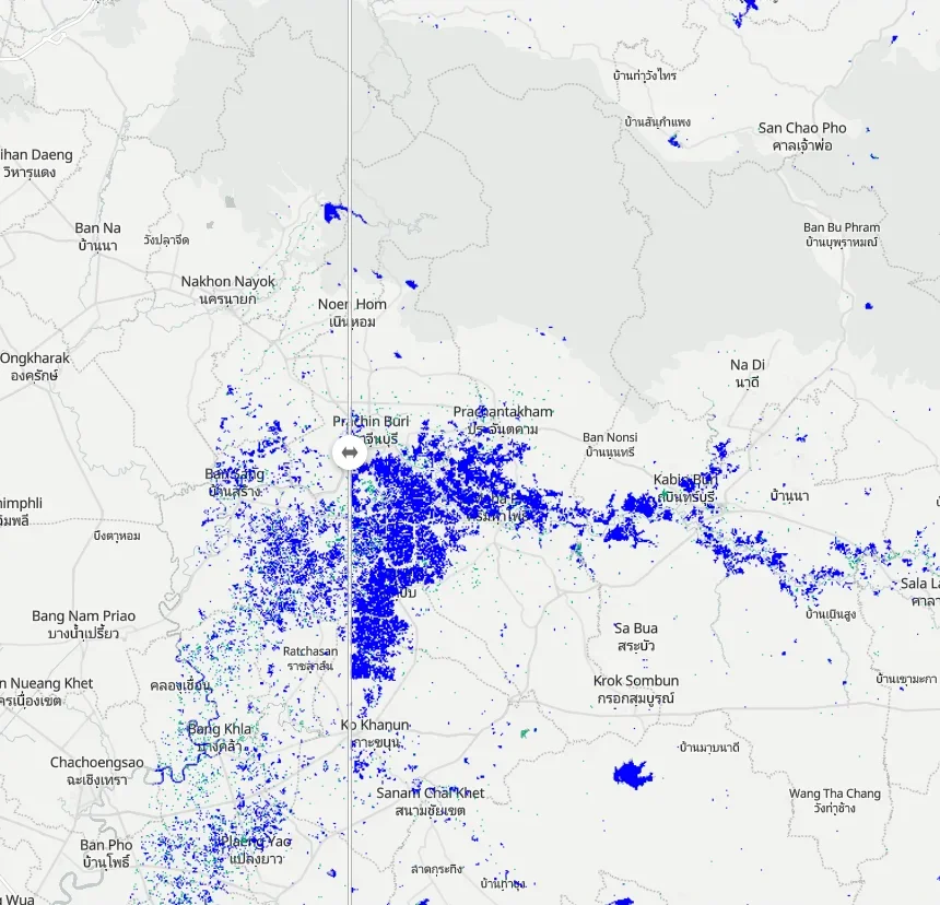
Swipe radar water maps of Prachin Buri before and after weeks of monsoon rain
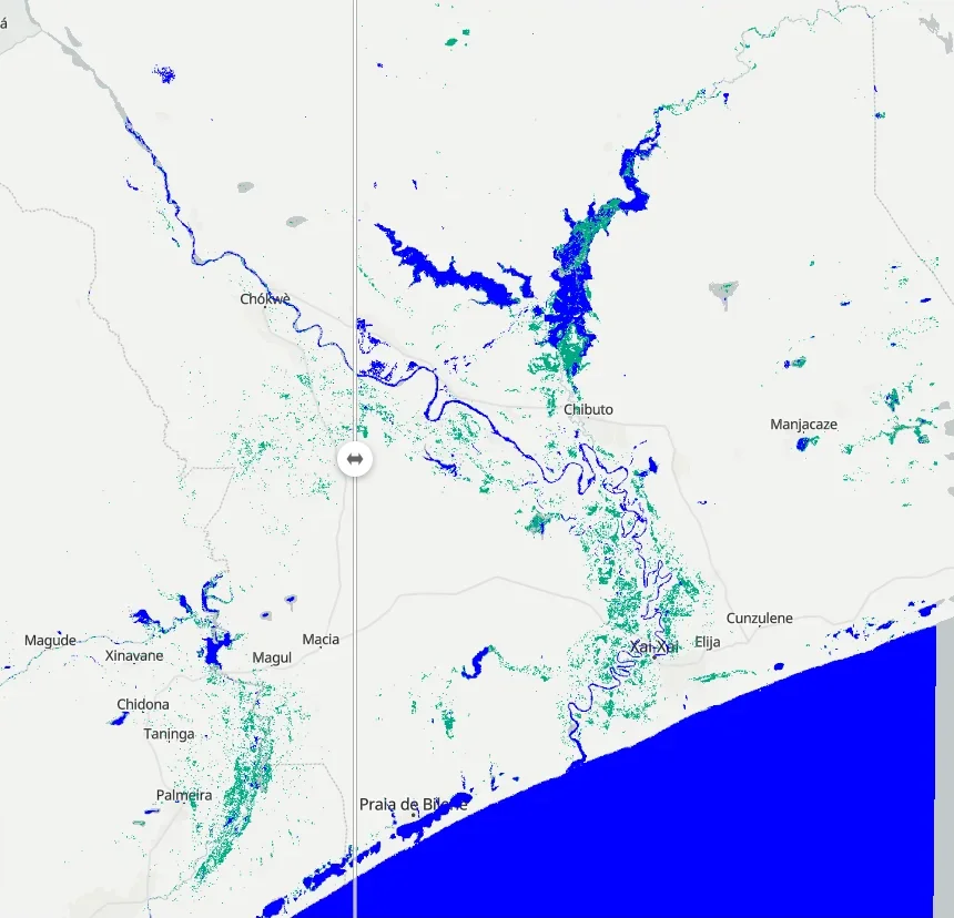
Mozambique floods, January 2026
Swipe radar water maps as the lower Limpopo valley floods
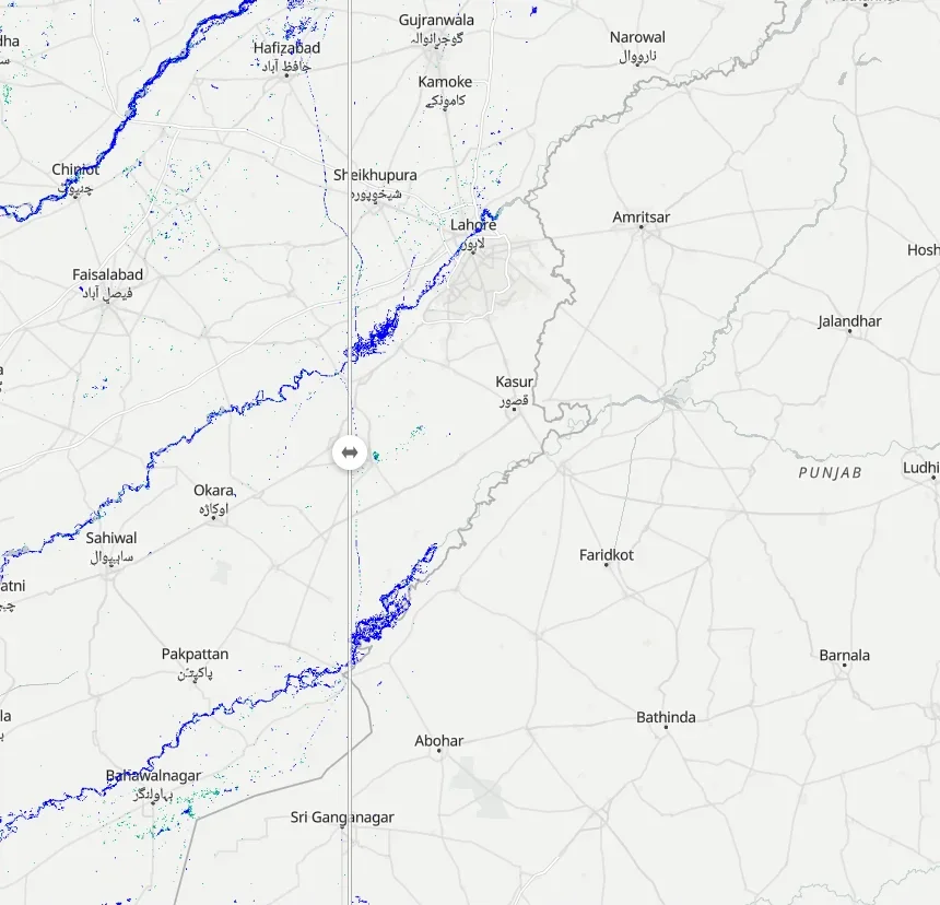
Swipe the Ravi, Sutlej and Chenab rivers before and during the monsoon floods
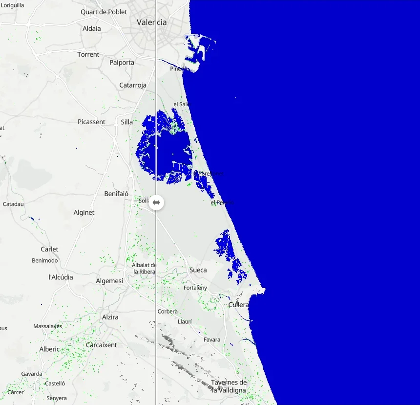
Swipe radar water maps from before and after the October 2024 flash floods
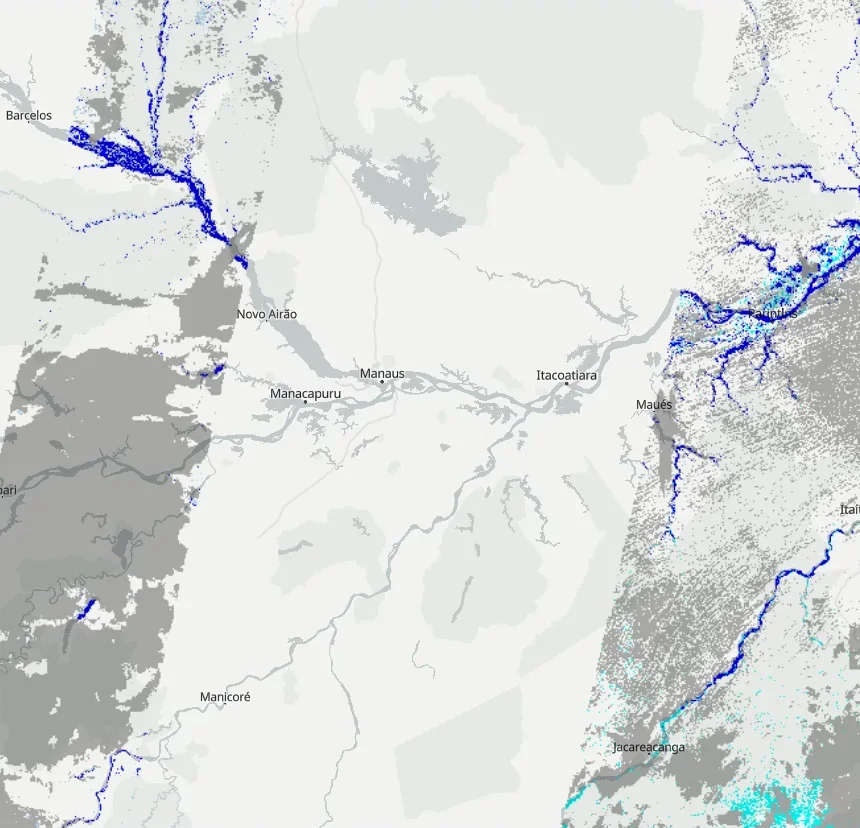
Amazon river water extent 2024
30 m surface water along the Amazon and its tributaries in 2024
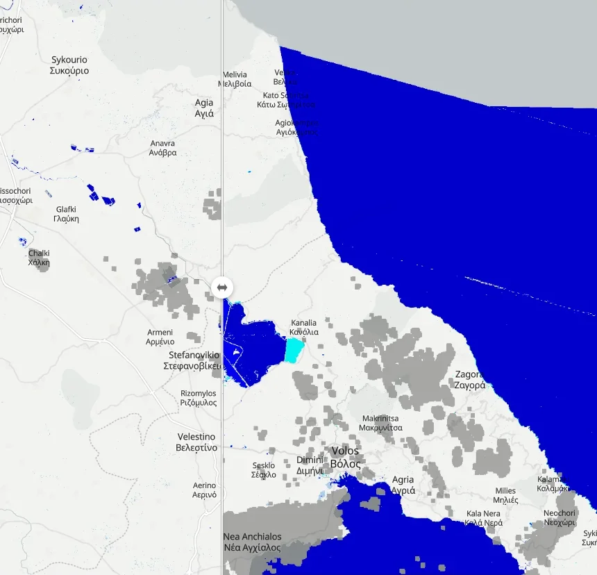
Thessaly floods, September 2023
Swipe the Thessaly plain before and after Storm Daniel refilled Lake Karla
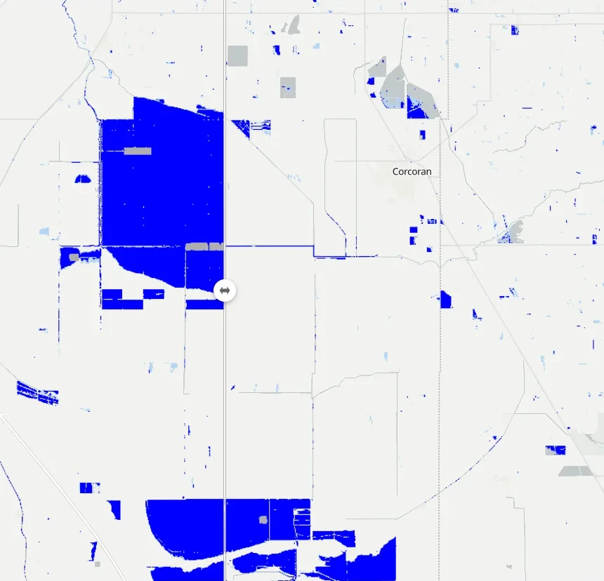
Swipe the lake that refilled in 2023 against farmland a year later
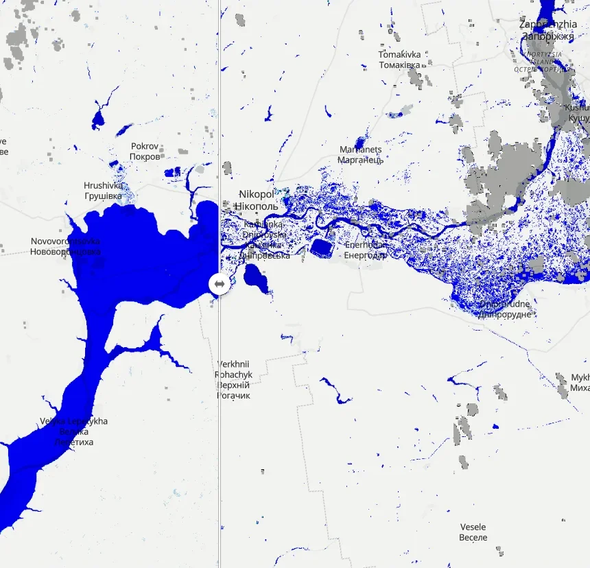
Kakhovka reservoir drains, 2023
Swipe the reservoir the day before the dam breach and a month after
Fires and vegetation disturbance
5 maps
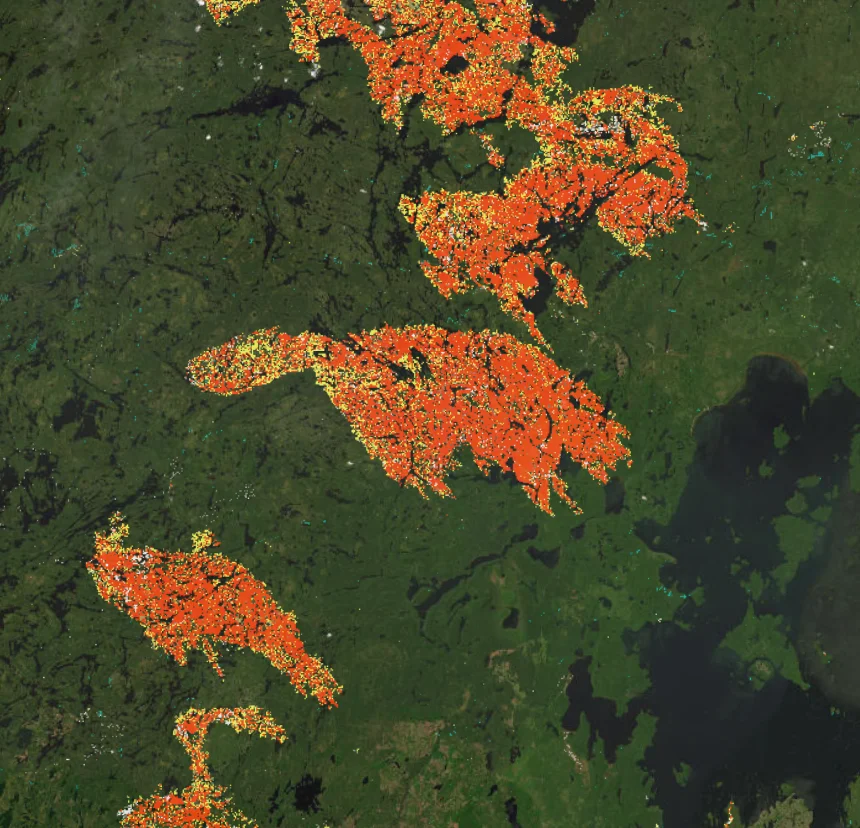
Northwestern Ontario wildfires, 2026
Burn scars of Ontario's record 2026 fire season over satellite imagery
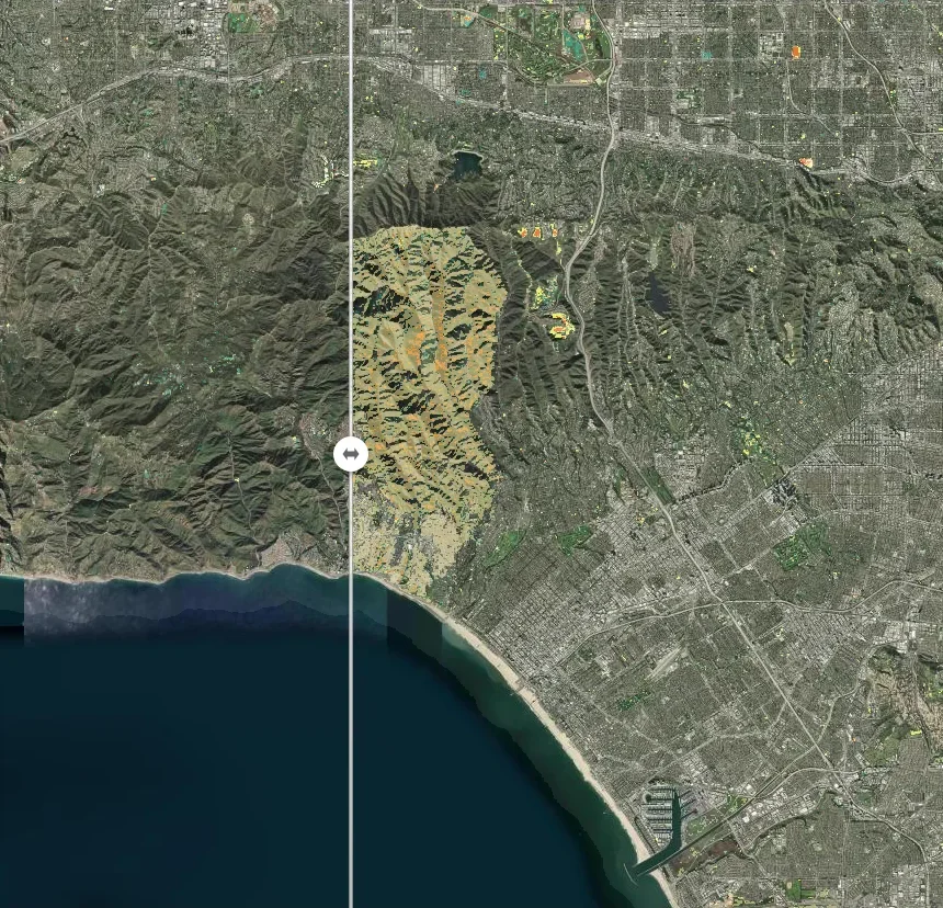
Los Angeles fire scars, January 2025
Swipe vegetation disturbance before and after the Palisades fire
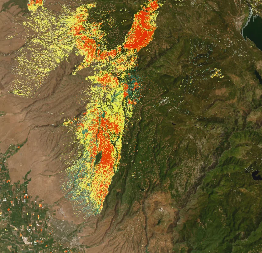
Vegetation loss across California's fourth-largest wildfire
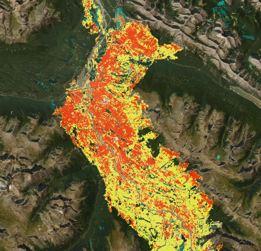
Confirmed vegetation loss around the town of Jasper a month after the fire
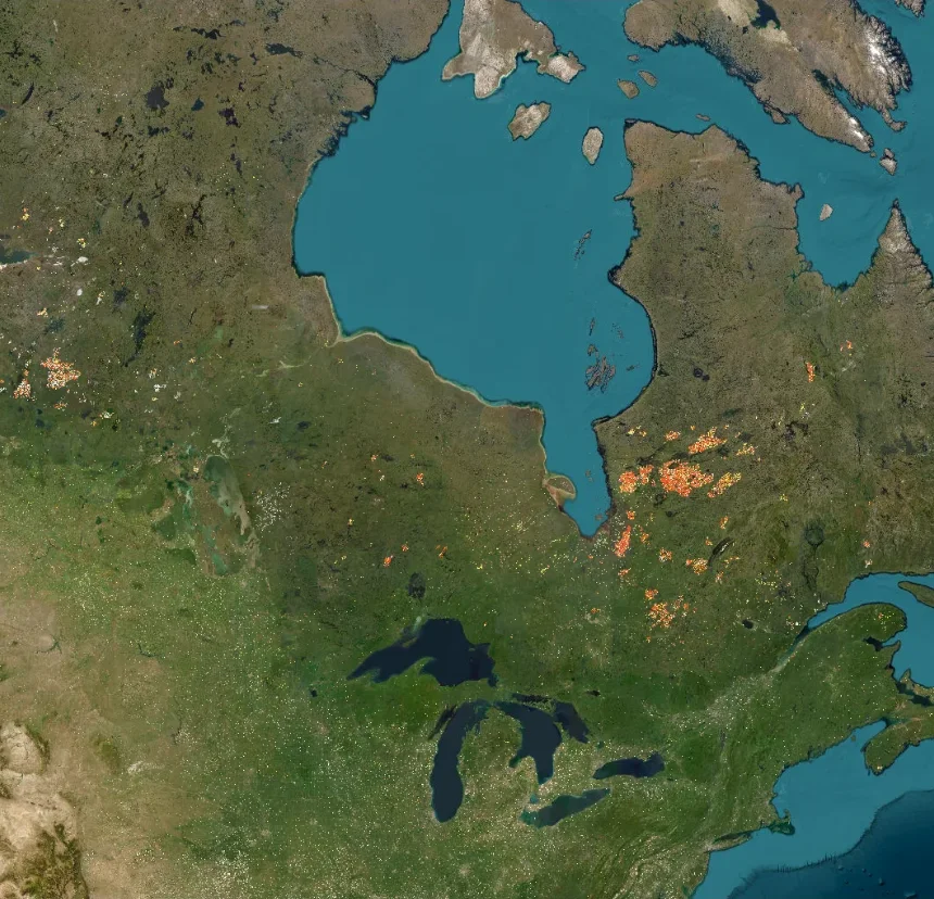
Burn scars of the 2023 season across Quebec, Alberta and the north
Ground motion
2 maps
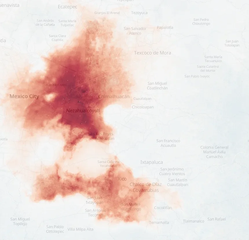
Up to 40 cm of subsidence in 18 months from radar interferometry
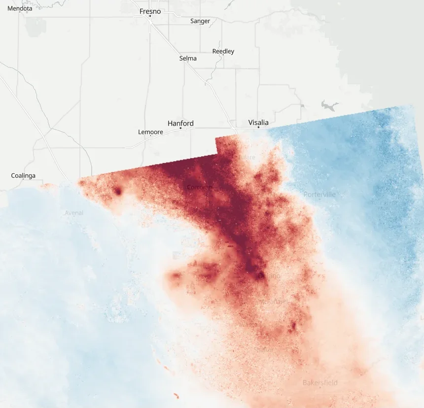
San Joaquin Valley sinking, 2022
Over 15 cm of ground motion in six months of drought-year pumping
Radar and coverage
3 maps
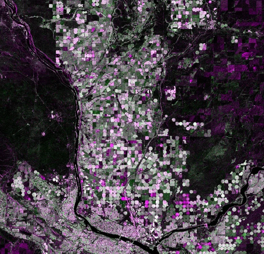
Columbia Basin crop circles in radar
Center-pivot fields light up in false-color Sentinel-1 backscatter
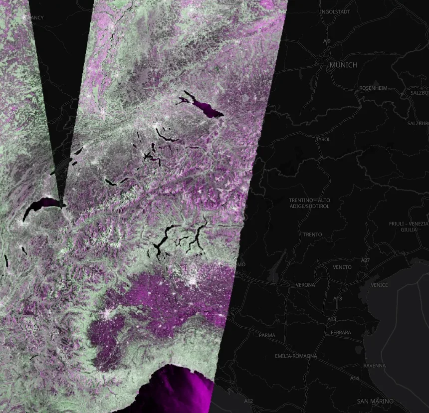
False-color radar backscatter that sees through cloud, lakes in black
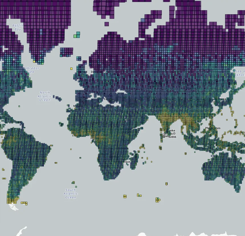
How often OPERA maps surface water
Days with a DSWx-HLS look for every MGRS tile, from 380,000 CMR granules