GeoLibre plugin · v0.3.1 · MIT
OPERA Plugin for GeoLibre
Search NASA's OPERA products, put them on a MapLibre map, and ask an agent to turn a place and a date range into a flood impact one-pager. No Earthdata login in the browser.
Source on GitHub Live demo GeoLibre OPERA mission
OPERA_L3_DSWX-HLS_V1 OPERA_L3_DSWX-S1_V1 OPERA_L3_DIST-ALERT-HLS_V1 OPERA_L3_DIST-ANN-HLS_V1 OPERA_L2_RTC-S1_V1 OPERA_L2_CSLC-S1_V1 + static layers
Video demos
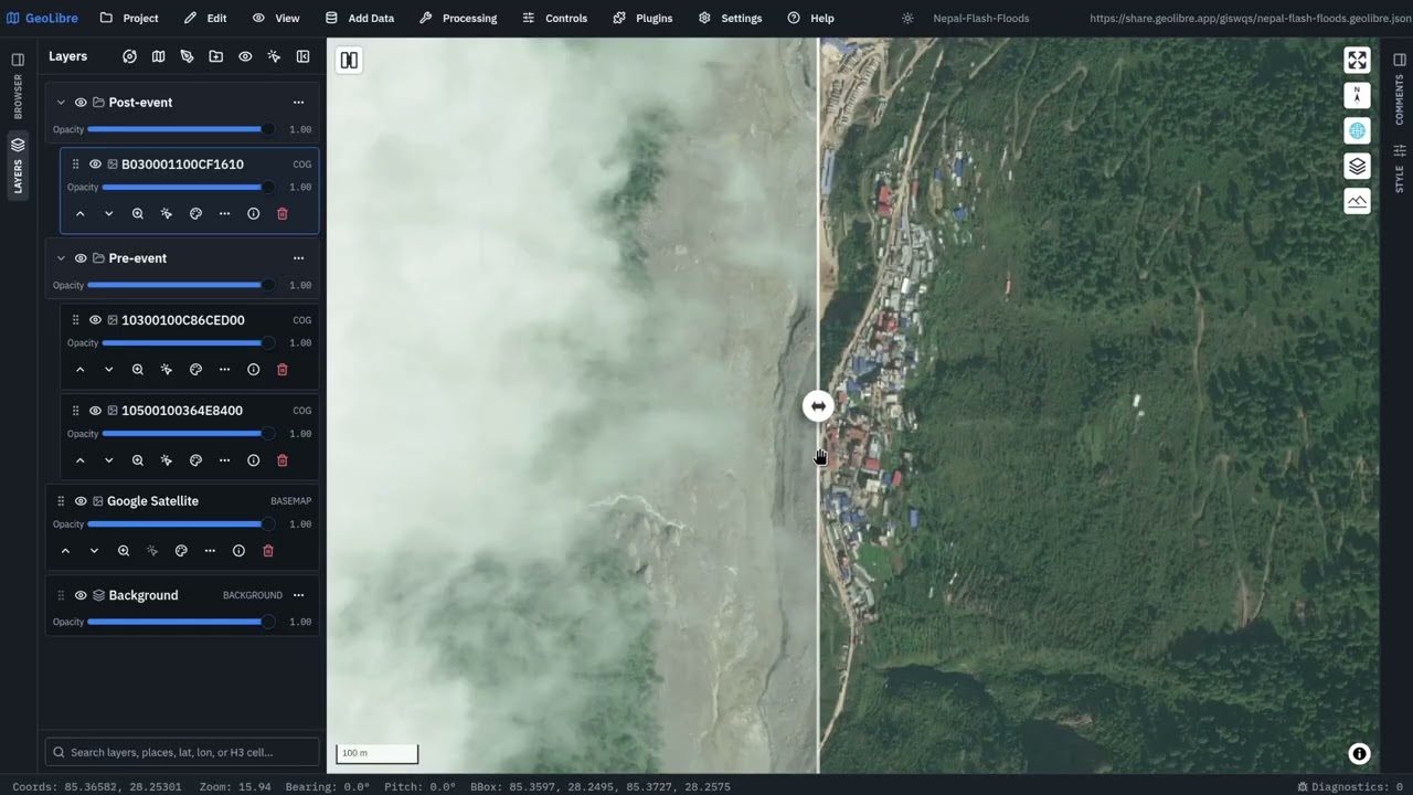
Four walkthroughs on real disasters: granule search and display, agent-driven flood mapping, land disturbance, and the plugin running inside GeoLibre.


What the plugin does
SEARCH- Pick a product, set a bounding box by typing it, using the map extent, or drawing a box, choose a date range, and query the public NASA CMR API. Footprints land on the map as a GeoJSON layer beside a sortable results table, and selection runs both ways: click a row to highlight its footprint, click a footprint to select its row.
DISPLAY- Select one granule or many (Ctrl-click to toggle, Shift-click for a
range), pick a band, and render each granule as its own titiler-cmr layer
pinned by
granule_ur. Override rescale and colormap when a continuous band such asB10_DEMneeds a stretch. ANALYZE- Change detection between two dates, AOI statistics from a bbox or drawn geometry, point queries against raster pixels or xarray variables, and time-indexed TileJSON for temporal workflows.
ASK- The OPERA GeoAgent operates the live map in plain language. It navigates, adds layers and markers, inspects what is visible, takes screenshots, and calls the OPERA-specific tools registered by this plugin.
REPORT- A self-contained, print- and PDF-ready one-pager with the map snapshot, flood benchmark, building and transportation exposure, WorldPop population exposure, cited impact figures, and a generated background narrative.
Where to go next
- Supported products and the data path - the eight OPERA collections, their render defaults, and how CMR and titiler-cmr fit together.
- The OPERA GeoAgent - the domain tools the plugin registers and the prompts that drive them.
- Flood one-pager workflow - from a place and a date range to a shareable impact summary.
- Build and install - into the GeoLibre web build or the Tauri desktop app.